

TL;DR:
- A detailed Sithonia Halkidiki map is essential for navigating its mountainous terrain and scenic coastlines effectively. It highlights key towns, natural landmarks, and Blue Flag beaches, helping travelers plan routes and avoid detours. Combining a physical map with GPS and local signage enhances safe, efficient exploration of this rugged Greek peninsula.
A detailed Sithonia Halkidiki Greece map is the single most useful tool you can carry when planning a visit to this rugged, pine-fringed peninsula in northern Greece. Sithonia is the middle of Halkidiki’s three peninsulas, covering 516.8 km² of mountainous terrain and pristine coastline between Kassandra to the west and Mount Athos to the east. Key towns like Nikiti and Neos Marmaras anchor the road network, while 93 Blue Flag beaches in 2025 confirm the region’s exceptional water quality. Getting your bearings before you arrive makes the difference between a smooth trip and a frustrating detour on a winding coastal road.
What does a Sithonia Halkidiki Greece map include?
️ A thorough Sithonia map does far more than show roads. It captures the full geographic picture of a peninsula whose terrain genuinely shapes how you travel.
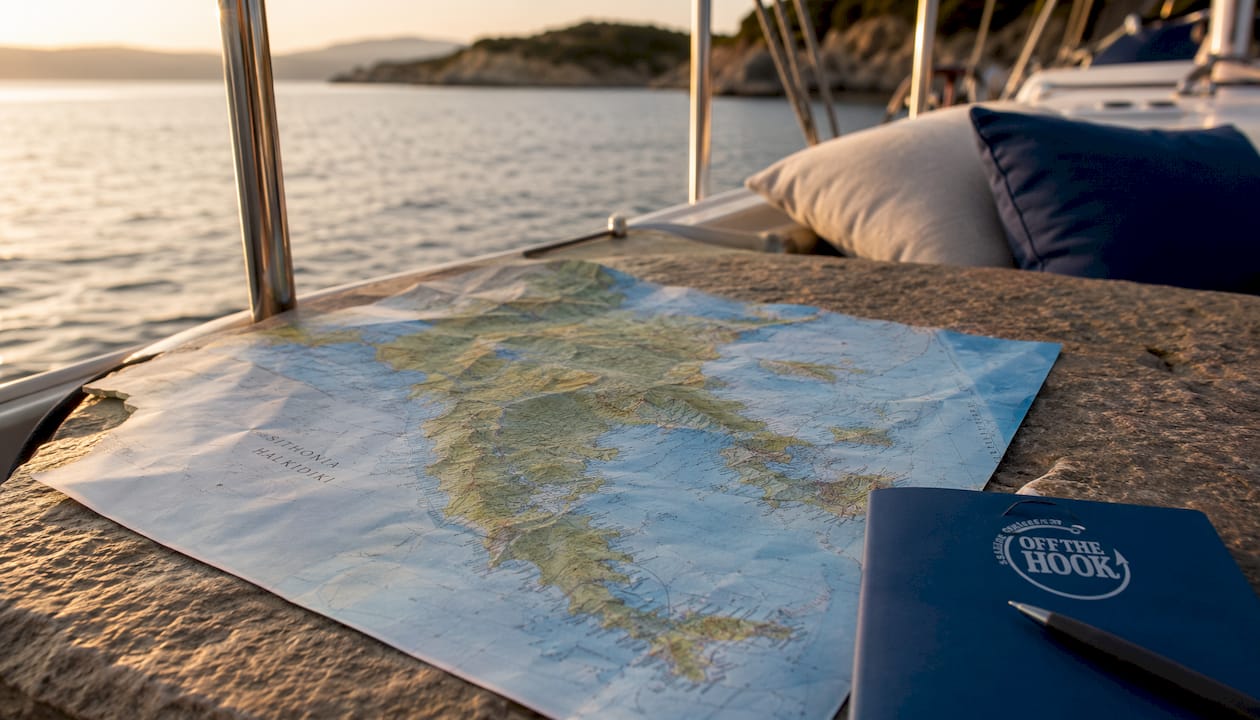
Municipal boundaries and road types are the backbone of any good Sithonia map. The peninsula sits within the Halkidiki regional unit of Central Macedonia, and its interior rises sharply around Mount Itamos. Roads split into two categories: the main coastal circuit that links the larger towns, and narrower rural access roads that reach secluded coves and hilltop villages. Both types appear on quality maps, and knowing which is which saves you from driving a rental car down a track meant for farm vehicles.
Key towns and villages you will find marked on every reliable map include:
-
Nikiti on the northwest coast, the first major town you reach from Thessaloniki and a practical base for exploring the northern beaches
-
Neos Marmaras on the southwest coast, the peninsula’s largest resort town and a hub for restaurants, shops, and boat departures
-
Sarti on the east coast, a quieter village with a long sandy beach and a clear view of Mount Athos across the water
-
Paliouri at the southern tip, where the coastline curves into sheltered bays popular with families
Natural landmarks worth marking include Mount Itamos in the interior, the deep natural harbor at Porto Koufo, and the chain of turquoise lagoons near Vourvourou on the northeast coast. These features are not just scenic. They directly affect road routing and travel time.
Tourist infrastructure on a Sithonia map covers resort zones, campgrounds, and Blue Flag beach locations with seasonal facility markers. That detail matters because some beaches operate full services from june through september, then scale back significantly outside peak season.
Pro Tip: Download an offline version of your digital map before leaving Nikiti or Neos Marmaras. Cell coverage weakens noticeably on the east coast road between Sarti and Porto Koufo.
How to effectively use physical and digital Sithonia maps
The most reliable approach to navigating Sithonia combines a physical map with a live digital tool. Each method covers the other’s weaknesses.
-
Start with a physical map for the big picture. Before you leave Thessaloniki, study a printed or downloaded Halkidiki Greece travel map to understand the peninsula’s overall shape. Sithonia’s coastal road does not form a perfect loop. There are gaps and dead ends that surprise first-time visitors.
-
Use GPS navigation for real-time routing. Apps like Google Maps and Maps.me handle the winding coastal roads well when you have signal. The winding coastal roads add significant time to trips that look short on paper, so always check the estimated drive time rather than the distance.
-
Cross-reference QR-coded beach guides. Many beach access points in Halkidiki now feature QR-coded information boards that link to real-time facility updates. Scanning these on arrival tells you whether the beach bar, showers, and lifeguard are operating that day.
-
Check seasonal map layers. Digital mapping apps update road closures and facility status more frequently than printed guides. Roads near Paliouri and the southern tip sometimes close for maintenance in april and october, outside the main tourist window.
-
Mark your daily base before driving. Whether you stay in Neos Marmaras or Nikiti, plot your intended stops the night before. Sithonia’s interior roads do not always connect east and west coasts directly, so a beach on the opposite side can require a longer detour than expected.
Pro Tip: Carry a waterproof printed map as a backup. Rugged terrain and sea air can drain phone batteries faster than usual, and some of Sithonia’s most beautiful coves sit in signal-dead zones.
Where are the top points of interest on a Sithonia map?
️ Marking the right locations before you set out turns a good trip into a great one. Sithonia rewards travelers who plan, because its best spots are spread across both coasts and the interior.
Must-mark beaches
-
Vourvourou on the northeast coast offers a cluster of Caribbean-style lagoons sheltered by small islands. The shallow turquoise water makes it ideal for families and snorkelers.
-
Kavourotripes (Orange Beach) near Sarti is a series of small coves carved into orange-tinted rock. Access requires a short walk from a roadside parking area, so mark the trailhead, not just the beach name.
-
Karydi Beach near Vourvourou is consistently rated among the best beaches in Halkidiki for its clear water and pine tree backdrop.
-
Kalamitsi Beach on the southwest coast sits near a small fishing village and offers a more relaxed, less commercial atmosphere than the beaches around Neos Marmaras.
-
Robinson Beach near Sarti is a long, undeveloped stretch that lives up to its name. Facilities are minimal, so bring supplies.
Key towns and cultural sites
| Location | Type | Highlight |
|---|---|---|
| Neos Marmaras | Resort town | Largest town on Sithonia; marina, restaurants, boat tours |
| Nikiti | Market town | Gateway from Thessaloniki; traditional architecture |
| Sarti | Village | East coast base; views of Mount Athos |
| Paliouri | Southern village | Sheltered family beaches; quiet off-season atmosphere |
| Toroni | Archaeological site | Ancient ruins of Agios Athanasios; Mycenaean history |
| Porto Koufo | Natural harbor | Deepest natural harbor in Greece; calm anchorage |
The east coast beaches, from Sarti south to Porto Koufo, tend to be wilder and less developed than those on the west coast near Nikiti and Neos Marmaras. That contrast is one of Sithonia’s defining characteristics. Travelers who prefer solitude mark the east coast. Those who want amenities close at hand stay on the west.
Hiking trails around Mount Itamos connect several inland villages and offer panoramic views of both coastlines. These trails are not always marked on standard road maps, so a dedicated hiking app or a trail-specific overlay adds real value for active travelers.
How does Sithonia’s geography affect your travel logistics?
Sithonia’s 516.8 km² area sounds manageable until you factor in the mountainous interior and the absence of a direct cross-peninsula road in the southern half. That geography shapes every itinerary.
Travelers arriving from Thessaloniki Airport face roughly 90 minutes of driving to reach central Sithonia. That is about double the drive time to Kassandra, the western peninsula. The extra distance reflects both the road distance and the slower speeds on Sithonia’s winding coastal sections.
Key logistics to plan around:
-
The main entry point is the town of Nikiti on the northwest coast. From there, the coastal road runs south along the west coast through Neos Marmaras to Porto Koufo, then north along the east coast through Sarti to Vourvourou.
-
Cross-peninsula shortcuts exist in the northern half of Sithonia but disappear south of Neos Marmaras. Driving from the west coast to the east coast in the southern section requires backtracking north first.
-
Porto Koufo is the peninsula’s most important natural harbor and the best departure point for boat tours around Sithonia. Mark it on your map early. The harbor sits at the end of a narrow inlet and is easy to miss from the main road.
-
Seasonal traffic peaks in july and august around Neos Marmaras and Vourvourou. Leaving these areas before 9:00 AM or after 7:00 PM cuts drive times significantly.
-
Fuel stations are concentrated in Nikiti and Neos Marmaras. The east coast between Sarti and Porto Koufo has limited options, so fill up before heading south.
Key Takeaways
Sithonia requires a detailed map because its mountainous interior, split coastlines, and winding roads make distance estimates unreliable without one.
| Point | Details |
|---|---|
| Download maps offline | Cell coverage drops on the east coast; save offline maps before leaving Nikiti or Neos Marmaras. |
| Plan for longer drive times | The 90-minute drive from Thessaloniki Airport and winding coastal roads add time beyond what distances suggest. |
| Mark both coasts separately | East coast beaches are wilder; west coast towns like Neos Marmaras offer more amenities. Plan accordingly. |
| Use Blue Flag markers | Halkidiki’s 93 Blue Flag beaches in 2025 vary by season; check facility status before driving to remote spots. |
| Porto Koufo is a key hub | This natural harbor is the best base for boat tours and is easy to miss without a detailed map. |
Why I always tell travelers to read the map before they read the reviews
Most travelers arrive in Sithonia with a list of beach names and no clear sense of where those beaches sit relative to each other. That gap causes real problems. You end up driving an hour between two beaches that look adjacent on a thumbnail image but sit on opposite coasts with no direct road between them.
I have watched travelers spend half a day in the car because they did not realize that Kavourotripes near Sarti and Kalamitsi near Neos Marmaras require a full loop of the peninsula to visit in sequence. A five-minute map review the night before would have saved them that frustration.
Sithonia also has a quality that does not show up in reviews: it genuinely rewards the traveler who goes slightly off the marked route. The coves between Porto Koufo and Sarti, for example, are accessible only by a rough track or by water. Most visitors never find them because they are not labeled on standard tourist maps. A detailed topographic overlay or a conversation with a local skipper reveals them immediately.
The other thing I tell people is to trust local signage more than they expect to. Sithonia’s road signs are accurate and well-maintained. When a sign points to a beach with a name you do not recognize, that is usually a good reason to turn, not a reason to stay on the main road.
Combining a solid map with a sea-level perspective changes what you see entirely. Some of Sithonia’s most dramatic coastline is only visible from the water. That is where a sunset cruise along the coast earns its place in the itinerary.
— George
Sithonia from the water: private cruises with Halkidiki Boat Sailing
A map shows you where Sithonia’s coastline goes. A sailing cruise shows you what it actually looks like from the sea.
Halkidiki Boat Sailing operates private cruises aboard “Off The Hook,” a fully crewed sailing boat based in the Sithonia area. Every excursion is all-inclusive, covering a professional skipper, fuel, snacks, refreshments, and snorkeling gear. The sailboat reaches secluded lagoons and sea caves that no road map can take you to. For a full week of coastal exploration, the weekly private cruise covers Sithonia’s most spectacular stretches at a relaxed pace. For an evening on the water, the four-hour sunset cruise pairs golden light with calm seas and unforgettable views.
FAQ
What is the best map tool for navigating Sithonia, Halkidiki?
A combined approach works best: use Google Maps or Maps.me for live navigation and carry a printed map as backup. Cell coverage is unreliable on the east coast between Sarti and Porto Koufo.
How far is Sithonia from Thessaloniki Airport?
The drive from Thessaloniki Airport to central Sithonia takes roughly 90 minutes, about twice the time needed to reach the neighboring Kassandra peninsula.
Which towns should I use as navigation anchors on a Sithonia map?
Nikiti and Neos Marmaras are the two main reference points. Nikiti sits at the northern entry on the west coast; Neos Marmaras anchors the central west coast and serves as the main commercial hub.
How many Blue Flag beaches does Halkidiki have?
Halkidiki held 93 Blue Flag awards in 2025, making it one of Greece’s highest-rated regions for beach water quality and facilities.
Can I reach all of Sithonia’s beaches by road?
Most beaches are accessible by road, but some of the most scenic coves between Porto Koufo and Sarti require either a rough track or a boat. A detailed map reveals which beaches need water access.