
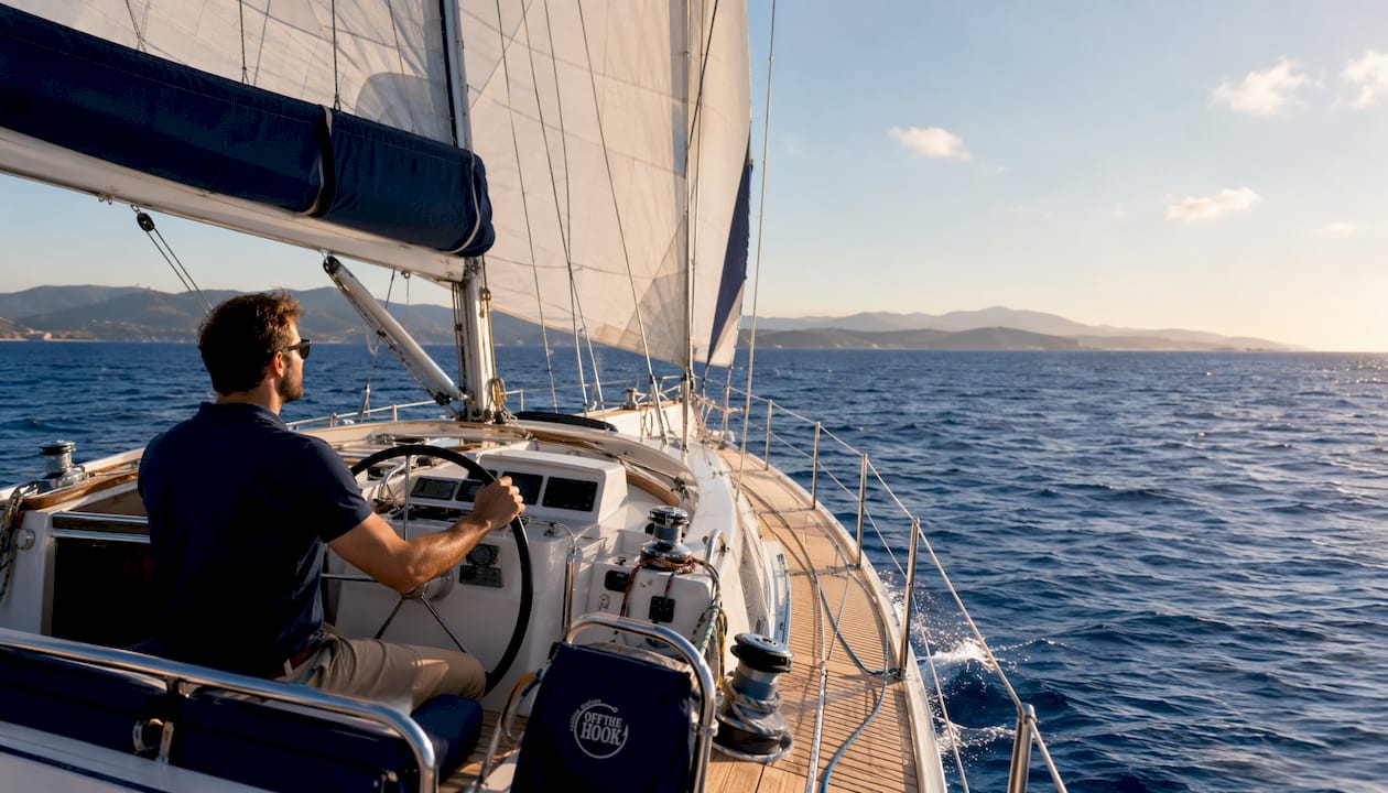
For a private sailing day on Sithonia, start with the interactive beach map from Visit Sithonia, then download a nautical chart overlay for your device. Pin these six locations first:
- Neos Marmaras (west-coast marina launch hub)
- Nikiti (northern gateway and resupply point)
- Vourvourou (eastern bay, access point for Diaporos island)
- Kelifos Island (signature anchorage, turtle-shaped isle)
- Porto Koufo (largest natural harbor in the Aegean)
- Paliouri coast (west-facing sunset anchor)
Sithonia has around 100 sandy beaches, many with Blue Flag certification. A sailing-first map pack prioritizes sheltered bays and Blue Flag anchorages over road distances. George Dimitriadis, skipper of Off The Hook, curates these exact waypoints for every private charter.
Table of Contents
- What sailing routes work best on Sithonia maps?
- Why Diaporos and Kelifos belong on every Sithonia map
- Where are the safest anchorages for small groups?
- What navigation tools and charts do you need?
- How do you use Sithonia maps to plan a private charter?
- Your private cruise on Off The Hook starts here
- Key Takeaways
- FAQ
What sailing routes work best on Sithonia maps?
️ Three time-budgets cover most private charters:
Half-day (4 hours): Launch from Neos Marmaras, cruise east to Vourvourou, anchor off Diaporos for a swim, return. Calm morning seas make this the most reliable short loop.
Full-day (7 hours): Add Porto Koufo to the south or swing north to Kelifos Isle. Porto Koufo’s rocky cliffs and fresh-fish tavernas make a natural midday stop. Budget conservatively for sea state; coastal navigation times vary more than road distances suggest.
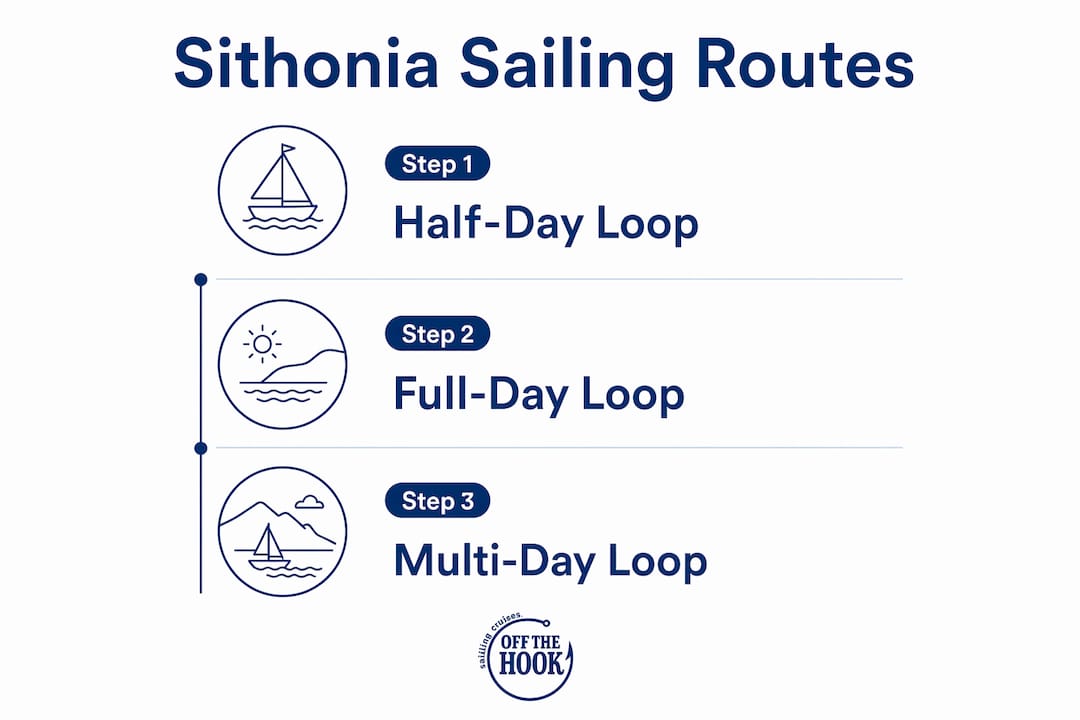
Multi-day: The full Sithonia coastal loop runs along the coast by sea. Overnight in Neos Marmaras, work south to Porto Koufo on day two, then loop back north via Vourvourou and Diaporos. A weekly private cruise gives you the flexibility to linger wherever the water calls you.
A sailing-first map pairs eastern bays for morning cruising with west-facing coves near Paliouri for sunset anchors — exposure and sea conditions matter far more than road distances here.
Why Diaporos and Kelifos belong on every Sithonia map
Vourvourou’s eastern bay opens onto a cluster of small islands, with Diaporos as the largest. The lagoons here are land-inaccessible, reachable only by boat, which keeps them genuinely quiet even in peak summer. Crystal-clear shallows, pine-fringed shores, and calm anchoring depths make Diaporos the top midday stop on any full-day itinerary.
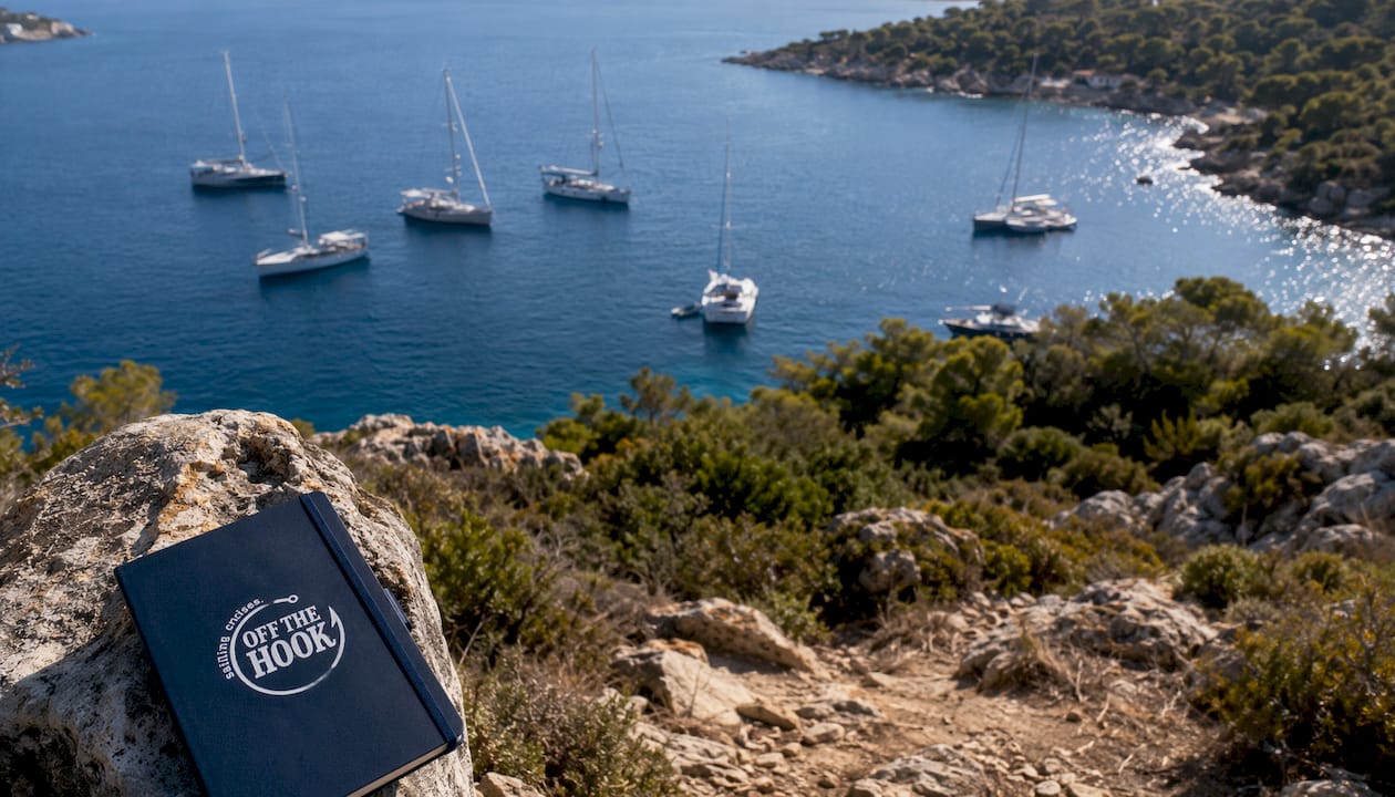
Kelifos Island sits further south, shaped like a sea turtle from above. Its coves require attention to approach corridors and anchoring depth — a detail that belongs on any serious map pack. Both islands reward small groups who arrive early; by midday, the water fills with day-trippers from the coastal road.
Where are the safest anchorages for small groups?
Sithonia is quieter and more nature-focused than neighboring Kassandra, and that character shows in its anchorages. Sheltered eastern bays near Vourvourou offer calm morning conditions. Porto Koufo, the Aegean’s largest natural harbor, gives near-total wind protection and a fishing-village atmosphere. West-coast bays near Neos Marmaras and Paliouri face open water but reward you with spectacular late-afternoon light.
Pro Tip: Arrive at Diaporos or Kelifos before 11 AM. By noon, the best anchoring spots fill quickly, and the land-inaccessible coves lose their solitude.
What navigation tools and charts do you need?
For practical Sithonia sailing, layer three sources:
- Nautical charts: Hellenic Navy Hydrographic Service charts cover Sithonia’s coastal depths and hazards.
- Apps: Navionics and OpenCPN both carry detailed Aegean overlays with GPS waypoints. Cross-reference with regional interactive maps for beach-level detail.
- PDF map pack: Download a printable chart with pinned waypoints as a backup — digital signal drops in some coves.
Safety checklist before departure: confirm VHF radio is operational, check wind forecast (Windy or PoseidonSeas for the Aegean), verify anchoring depth at planned stops, and carry a paper chart as backup.
How do you use Sithonia maps to plan a private charter?
Bring your map to the booking conversation. Mark your preferred stops, note any timing constraints, and ask the skipper these questions:
- Which anchorages are best for your group size and the week’s forecast?
- What is the fuel policy and turnaround if conditions change?
- Can the route include a sunset anchor near Paliouri or Neos Marmaras?
A curated map also shortens the on-board briefing. When skipper and guests share the same pinned waypoints before departure, the day flows without surprises.
Your private cruise on Off The Hook starts here
Skip the hours of chart-stacking and waypoint research. Halkidiki Boat Sailing puts George Dimitriadis at the helm of Off The Hook with every booking — a professional local skipper who already knows every anchorage, approach corridor, and sunset cove on the Sithonia coast.
Every charter is fully crewed and all-inclusive: skipper, fuel, refreshments, snacks, and snorkeling gear. The route planning, waypoint safety checks, and anchorage scouting are handled for you. Choose a full-day cruise to hit Diaporos and Porto Koufo, a sunset sail for a Paliouri west-coast anchor, or a multi-day itinerary for the full Sithonia loop. Custom half-day and group routes are available on request.
Pro Tip: Leave Neos Marmaras by 9 AM on peak summer days. The coastal road fills early, but the water stays open — and the land-inaccessible coves are yours before the crowds arrive.
Check availability and ask about small-group itineraries at halkidikiboatsailing.com.
Key Takeaways
Sithonia’s most rewarding sailing destinations are land-inaccessible by road, making a sailing-first map pack with pinned waypoints the most practical planning tool for private charters.
| Point | Details |
|---|---|
| Pin these six first | Neos Marmaras, Nikiti, Vourvourou, Kelifos Island, Porto Koufo, and Paliouri coast cover every key charter stop. |
| Match route to time | Budget 4 hours for a Neos Marmaras–Diaporos loop, 7 hours to add Porto Koufo or Kelifos. |
| Prioritize sheltered bays | Eastern bays suit morning cruising; west-facing coves near Paliouri are best for sunset anchors. |
| Layer your chart sources | Combine Navionics or OpenCPN with a downloaded PDF backup for full coverage in signal-dead coves. |
| Book Off The Hook | Halkidiki Boat Sailing includes skipper George Dimitriadis, fuel, snorkeling gear, and a curated route in every all-inclusive charter. |
FAQ
What are the best Sithonia maps for sailing?
Combine the Visit Sithonia interactive beach map with Navionics or OpenCPN nautical charts for GPS-accurate depth and waypoint data. Download a PDF backup before departure for coves with weak signal.
Which Sithonia locations are only reachable by boat?
Diaporos island lagoons near Vourvourou and the coves around Kelifos Island are land-inaccessible, reachable only by private boat or charter.
How long does a half-day sailing loop take from Neos Marmaras?
A Neos Marmaras to Vourvourou and Diaporos loop takes roughly 4 hours, including swim time at anchor.
Does Halkidiki Boat Sailing provide route planning?
Yes. Every Off The Hook charter includes skipper George Dimitriadis, who handles route planning, waypoint selection, and anchorage scouting as part of the all-inclusive package.
When is the best time to reach Diaporos or Kelifos by boat?
Arrive before 11 AM to secure the best anchoring spots; both destinations fill with day visitors by midday during peak summer season.